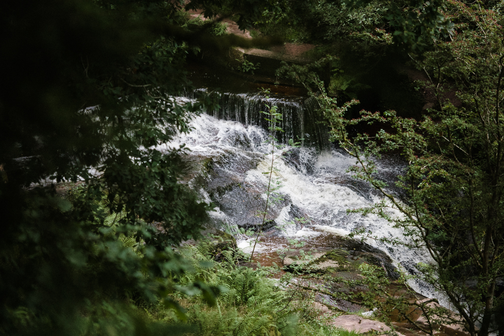
Gwaun Cerrig LLwydion and Caerfanell Waterfalls
Home »
22.08.2023

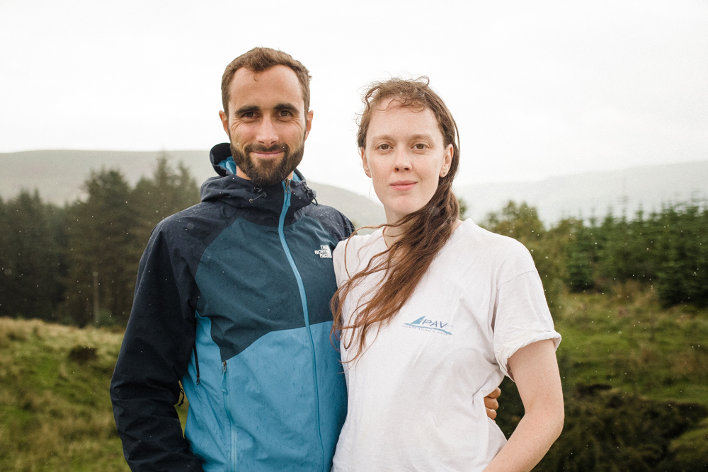
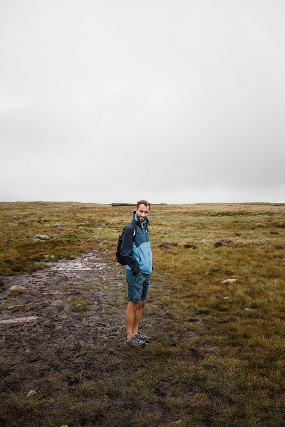
As is tradition, we celebrated our wedding anniversary with a long walk in the mountains and a picnic. We’ve not done this for every anniversary, as some years we’ve been camping in France instead, but if we’re at home we usually make a beeline to the mountains or hills to spend the day together.
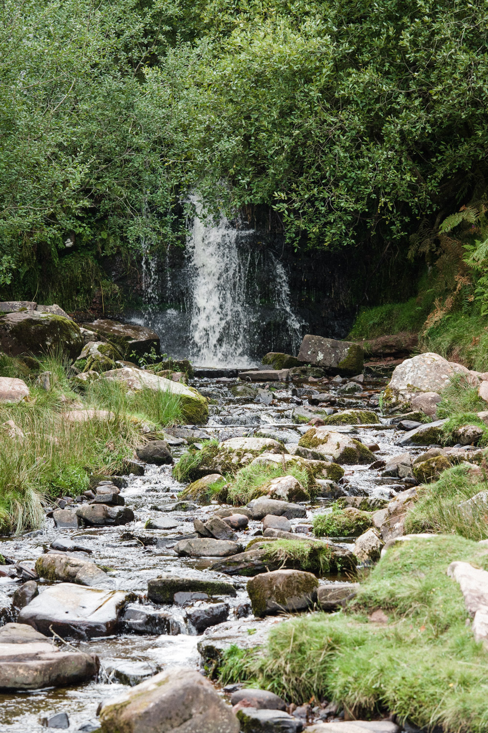
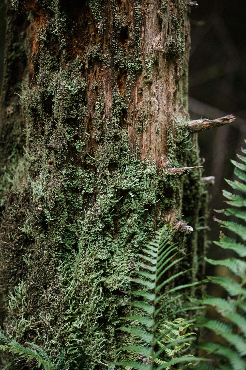
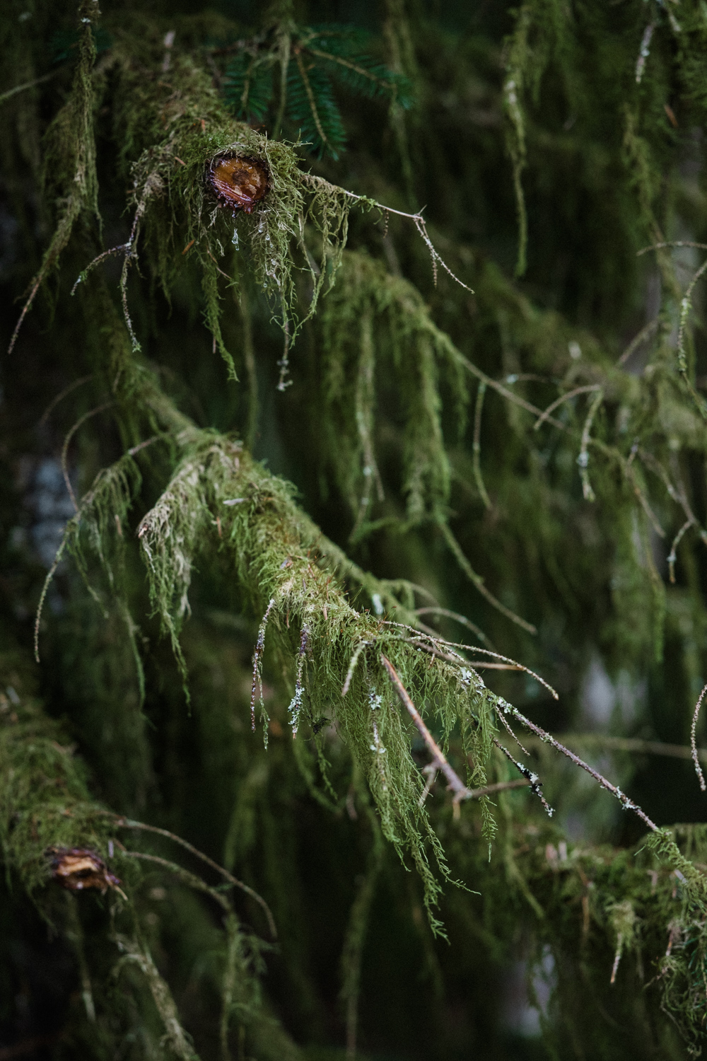
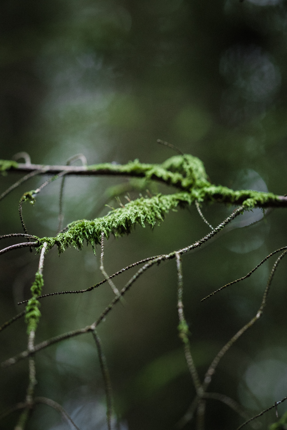
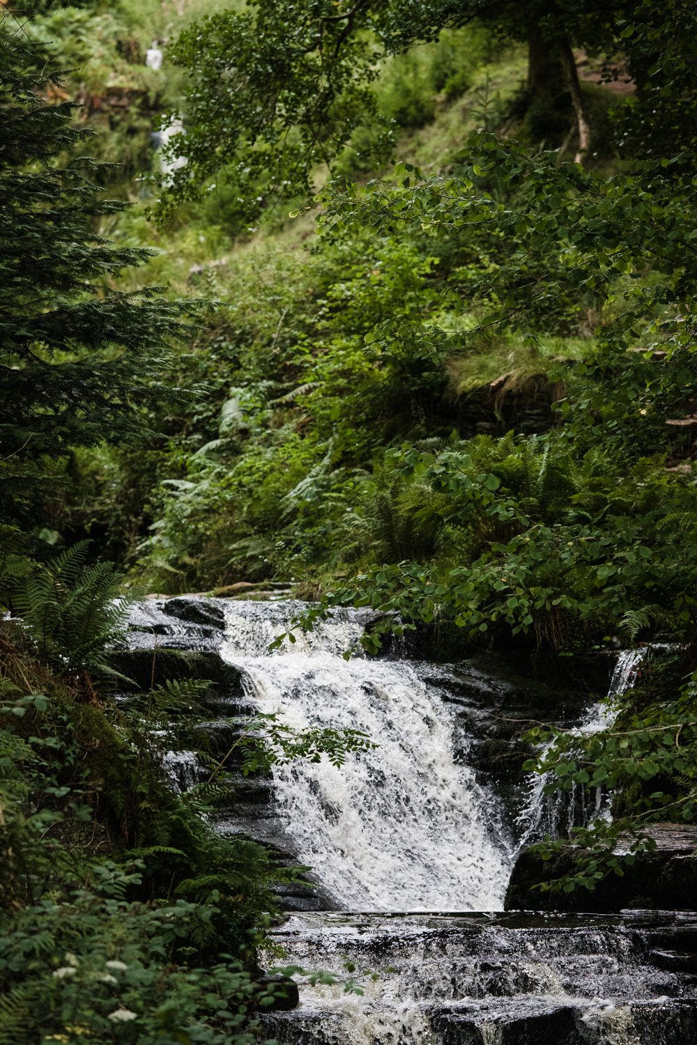
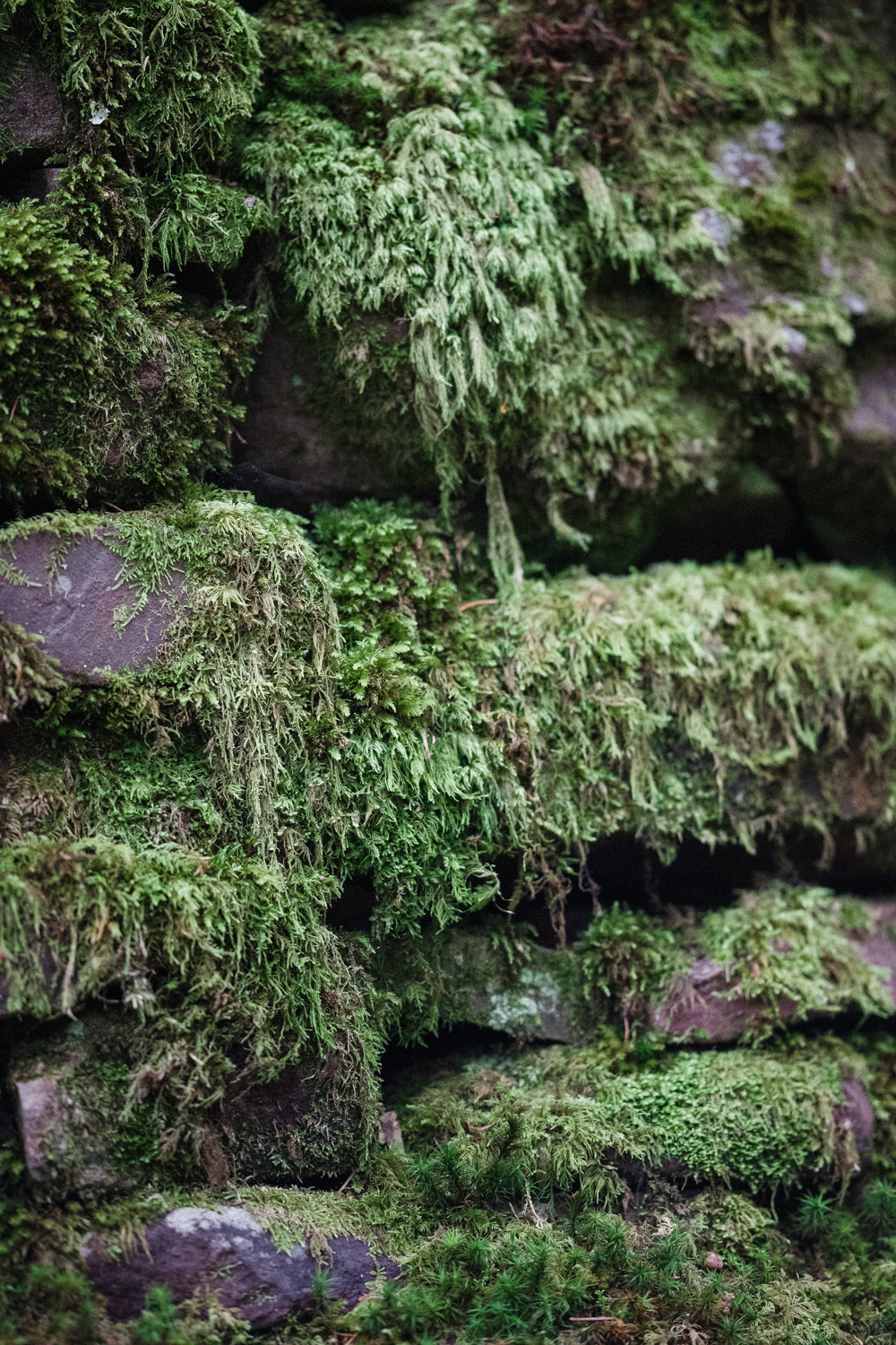
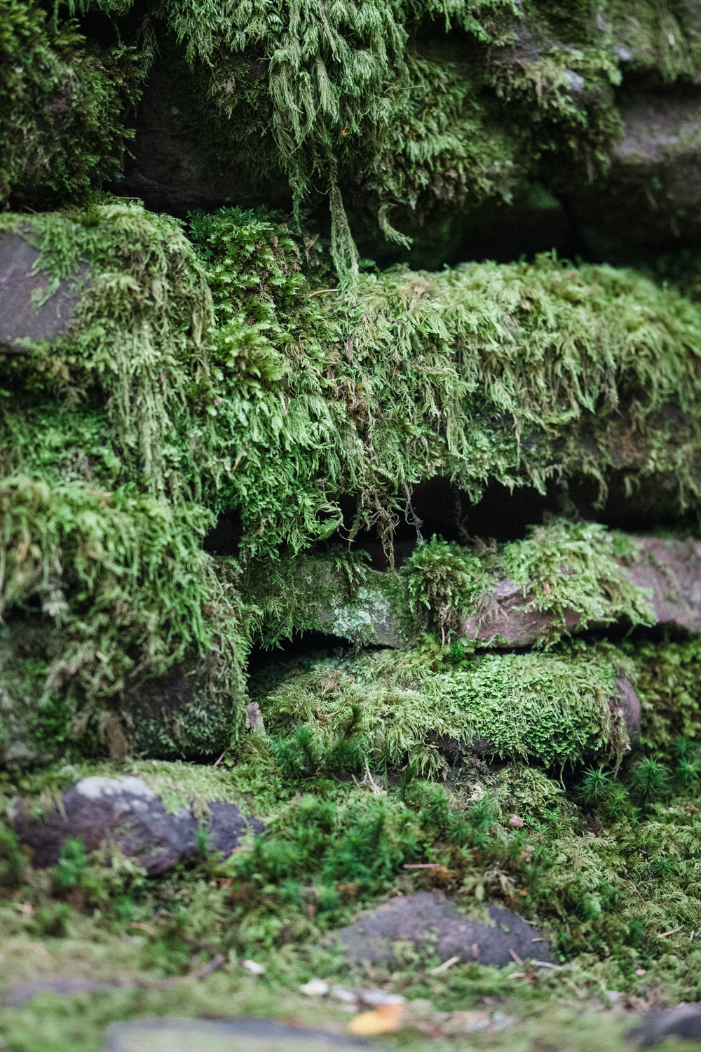
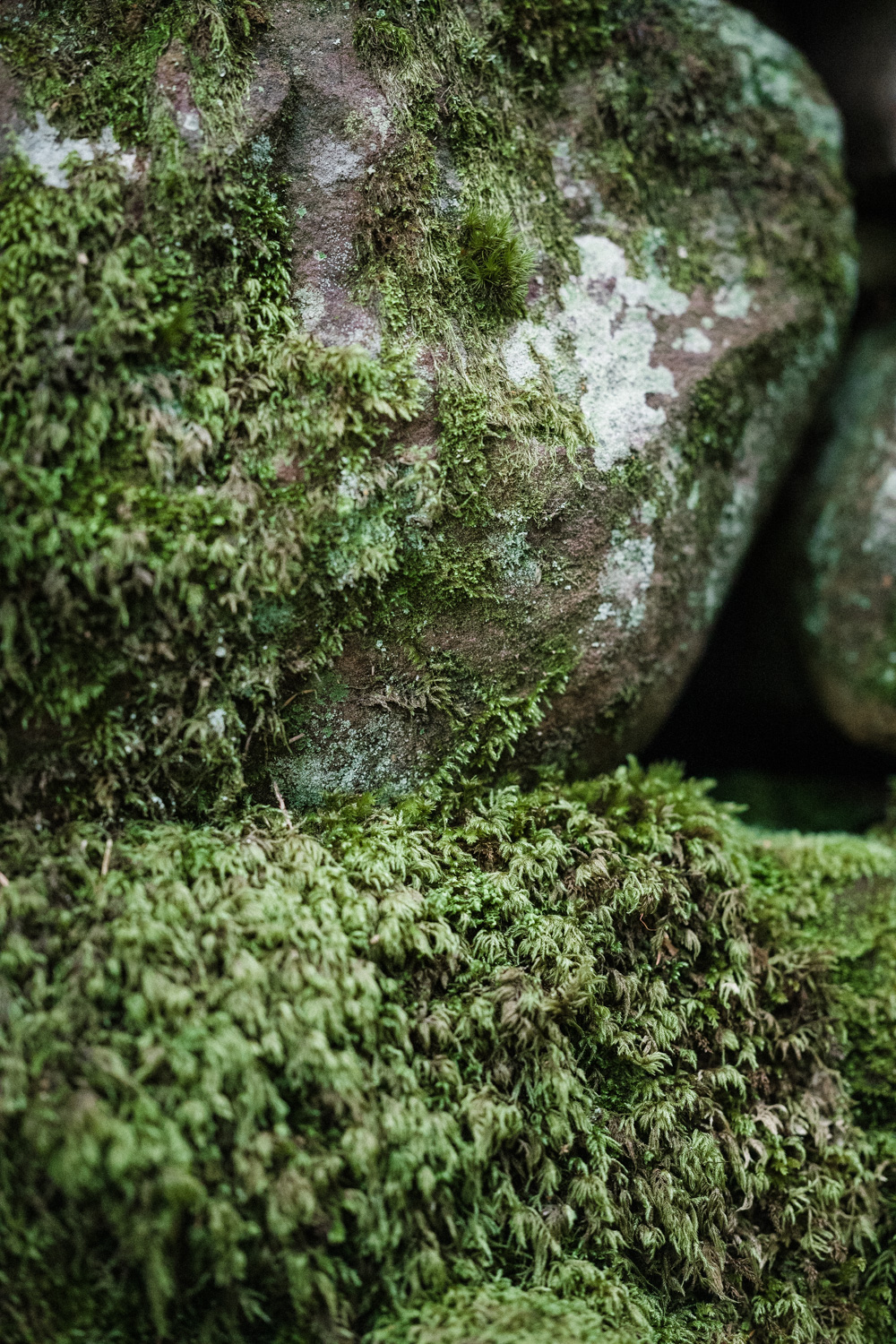
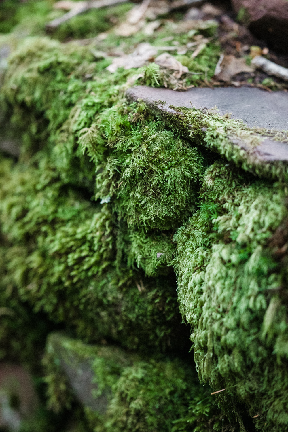
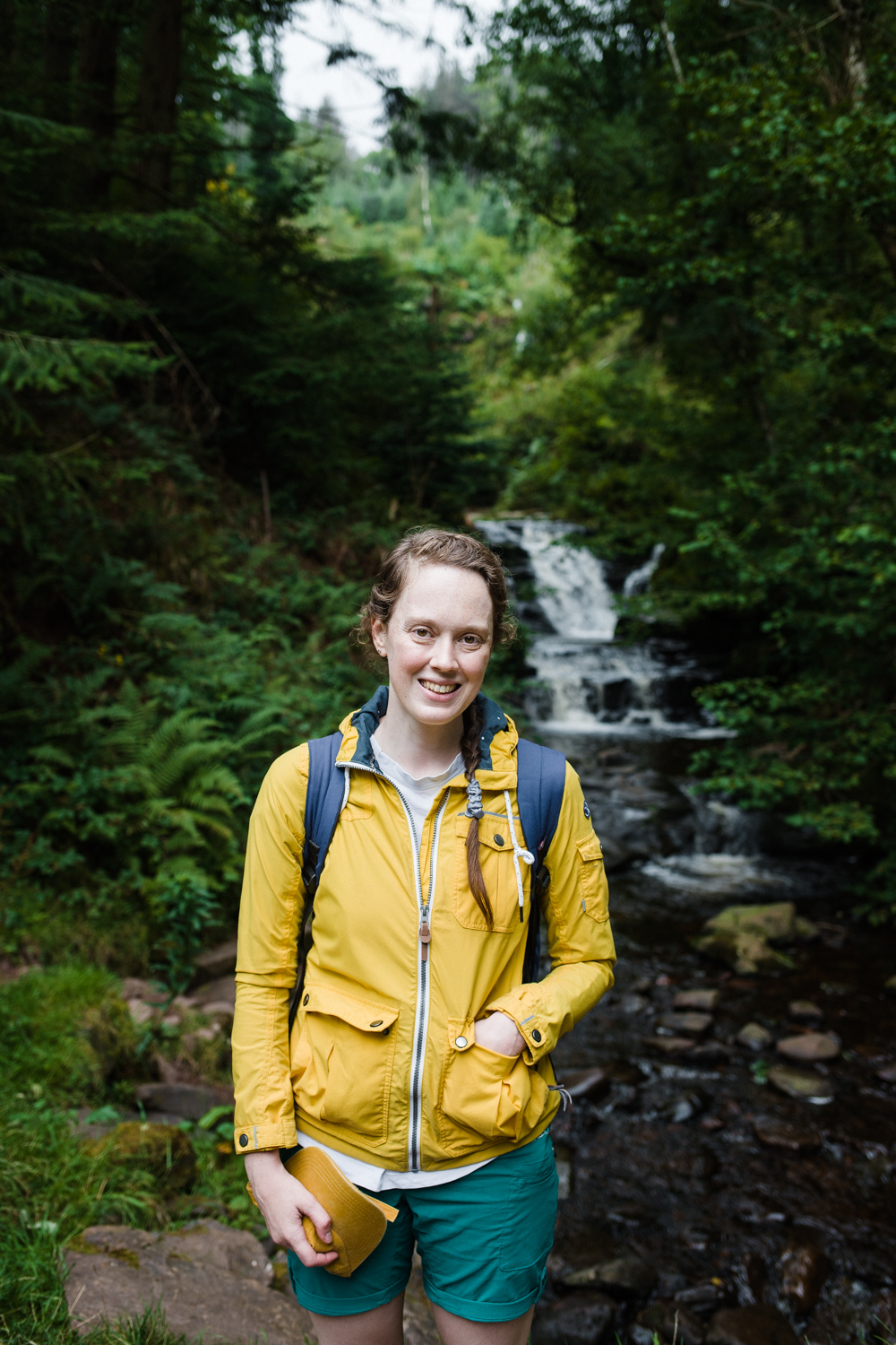
This walk was a new one, combining elements of previous walks we’ve completed in Bannau Brycheiniog (the Brecon Beacons). Here’s a map of the route we walked. We parked in the carpark by Blaen y Glyn Isaf, which is next to the lowest of the Caerfanell waterfalls, and then followed the woodland trail up alongside the river, stopping to see each of the waterfalls in turn. The main track then curves to the right before heading steeply uphill through a densely planted forest thick with mosses and lichens and emerging into the carpark at Blaen y Glyn Uchaf. At this point the path continues alongside the river taking you through a less dense section of woodland before reaching open hill and eventually Craig y Fan Ddu. The wind was quite strong and it was spitting with rain, but the temperature was quite comfortable. After reaching Craig y Fan Ddu, most of the ascent was behind us and we continued along the ridge and the Beacons Way to the north, before reaching the head of the Caerfanell.
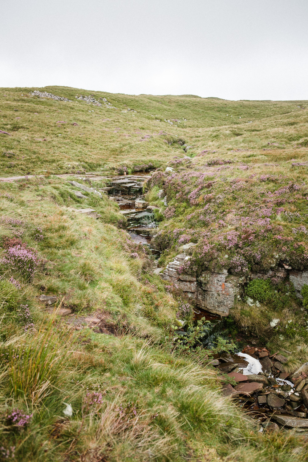
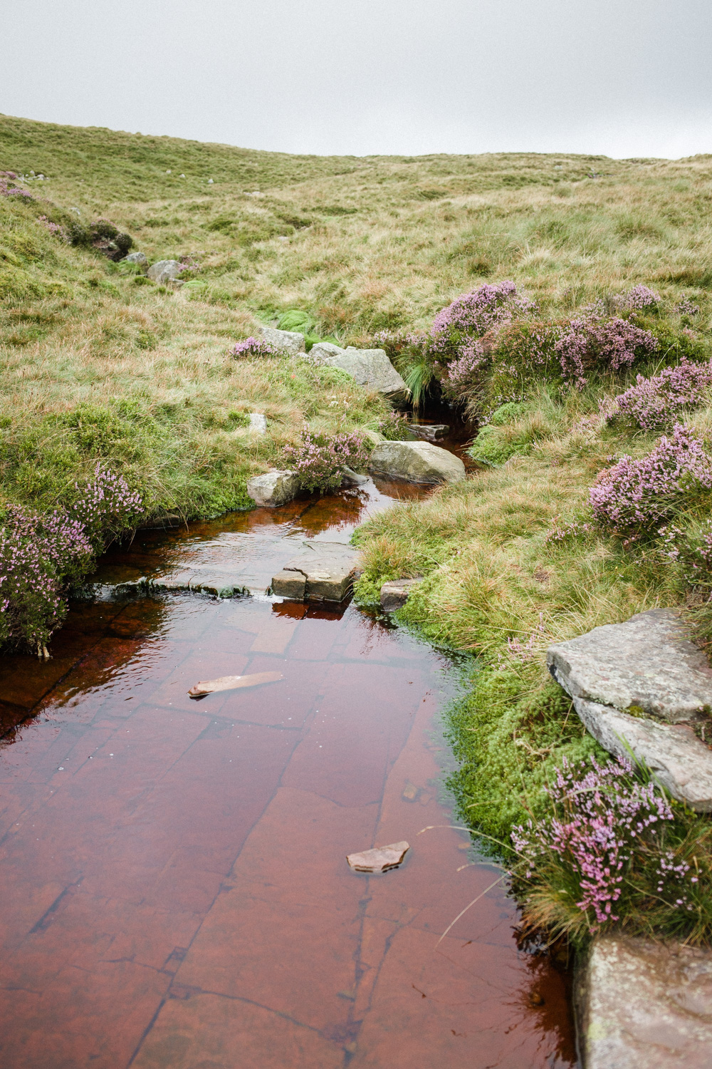
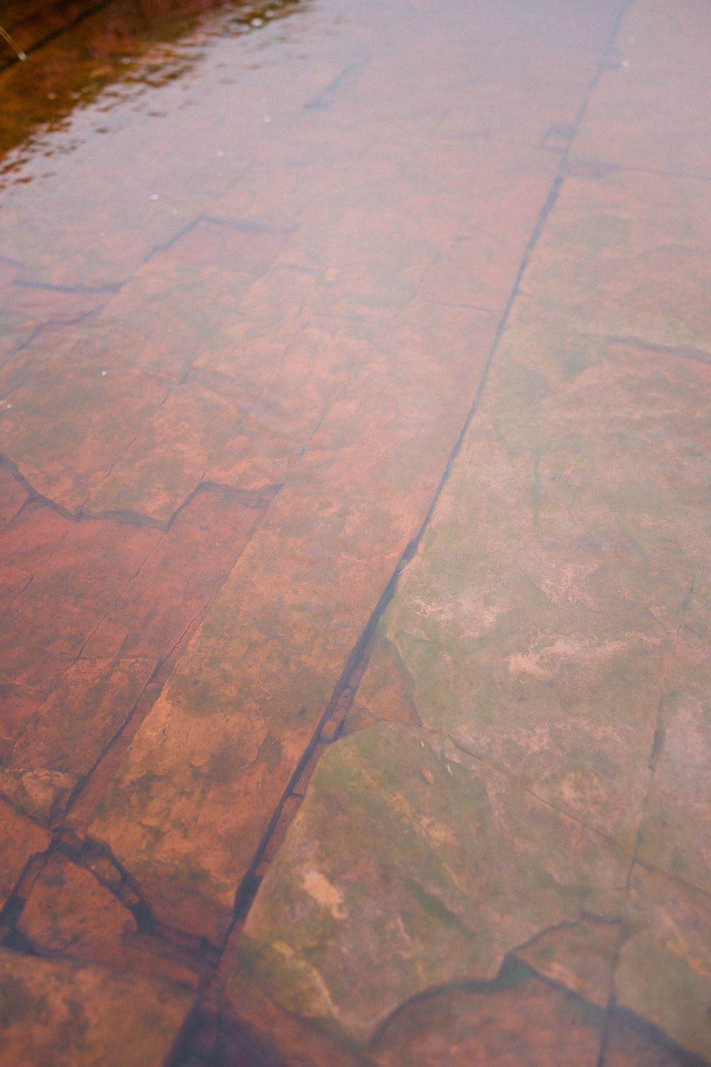
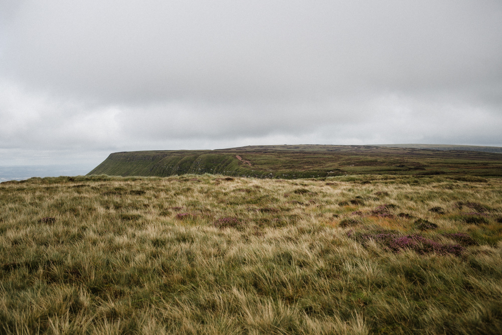
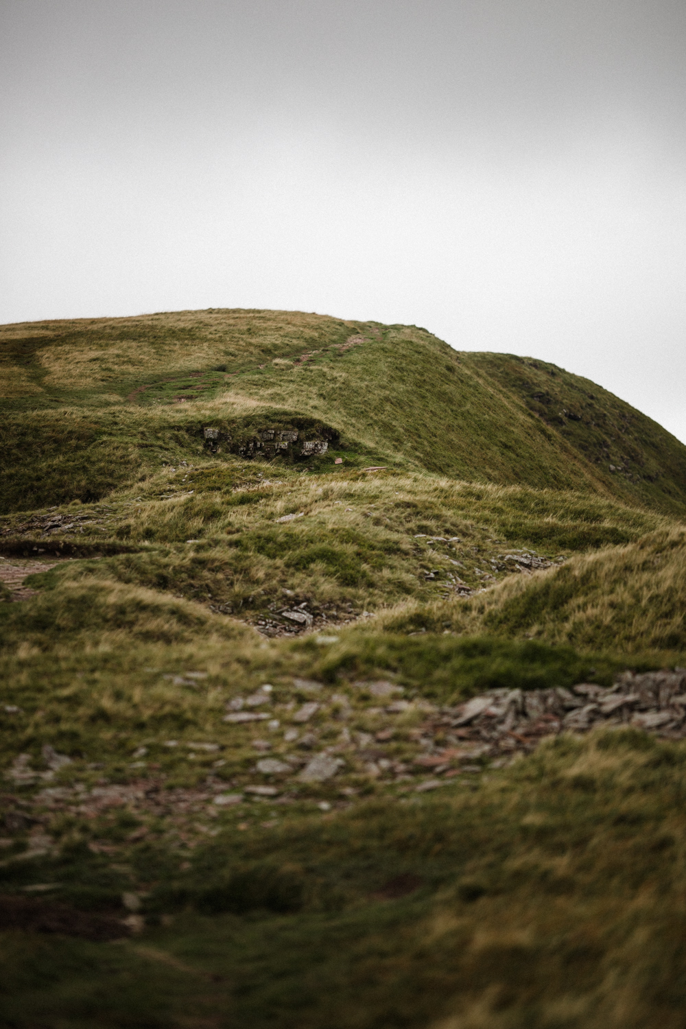
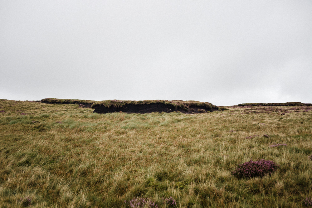
This point is marked by a big slab of red sandstone which you have to cross to continue along the ridge. Instead of following the ridge, we branched off to continue along the Beacons Way which takes you over peat bog and sandstone and the plateau known as Gwaun Cerrig Llwydion. This was possibly my favourite part of the walk, because there were so few signs of human interference up there. The path, though marked on OS maps, felt like a minor trail as it’s not clear underfoot. It’s not a path to follow in poor visibility unless you are confident with navigation. There are a few cairns, but most of the piles of stones marked on the OS map are natural and ancient rather than created by humans.
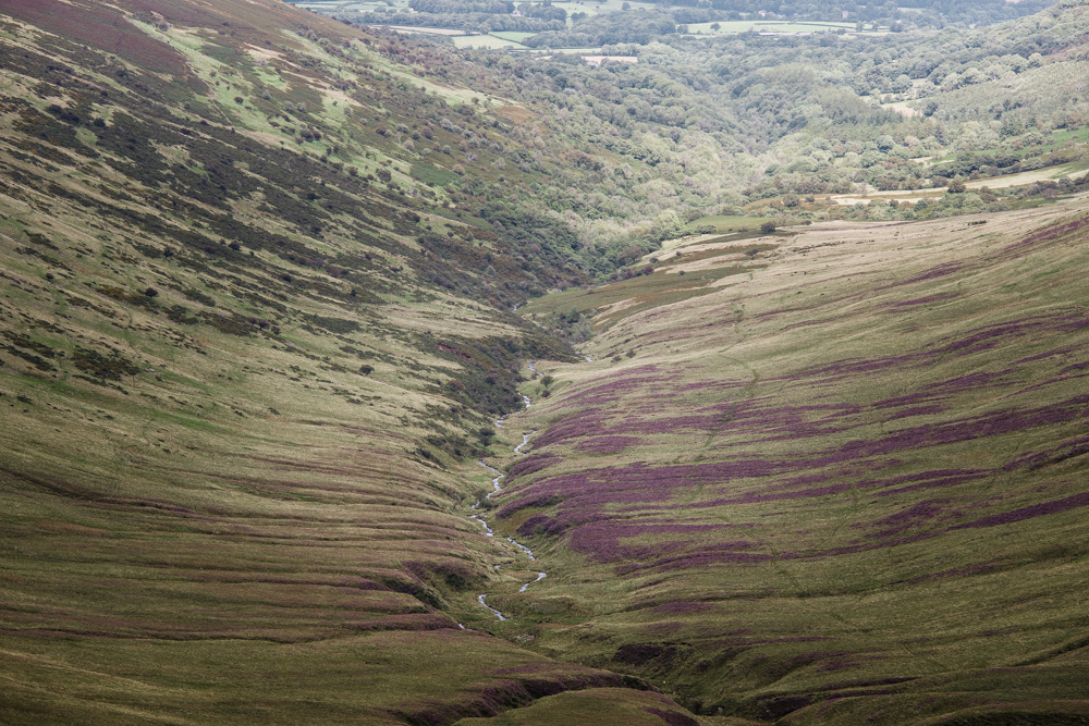
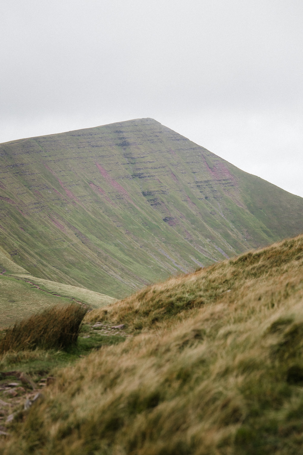
The Beacons Way eventually rejoins the main ridge, which we followed up onto Fan y Big before descending to the main track. We didn’t continue up Cribyn, Pen y Fan or Corn Du because we’ve climbed them many times in the past, and visibility was poor. There’s no joy in peak bagging for the sake of it. Instead, we continued along the main track which descends towards Upper Neuadd Reservoir, which was drained several years ago and remains empty. The path descends towards woodland and a sheep farm before crossing a stream and then there’s a gate. Passing through the gate and taking an immediate left turn we headed back uphill through dense forest before reaching a clearing and then a forestry track which emerges by Torpantau Railway Station for the steam trains. The last little leg of the walk took us back along the main road for a short distance to the carpark at Blaen y Glyn Uchaf, and then we retraced our steps through the forest, past the waterfalls, to the carpark. In total, it was 8 miles (13km) and took us a leisurely 4 hours. If you don’t stop to catch your breath on the hills, take in the views, or take photos, then it’d be quicker. I’m not as fast on hills as I used to be which has reminded me that I need to get back into running hills and doing sprint intervals more often. I walk lots and can walk all day on the flat or a gentle incline, but steep sections catch me out, whereas they didn’t used to when I ran hills frequently. Ed’s a mountain goat and nothing fazes him.